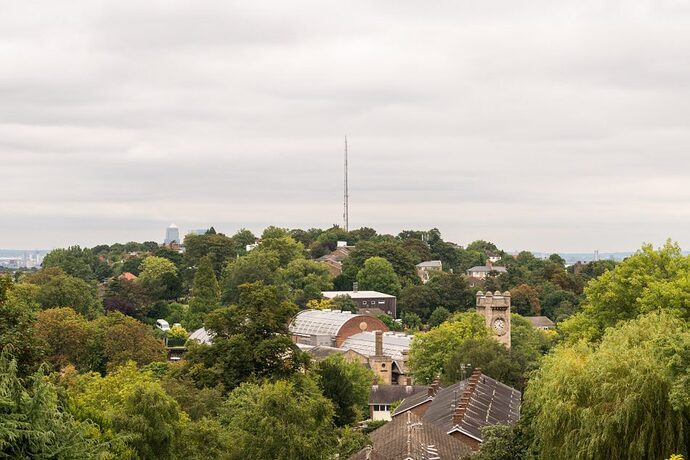
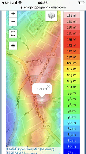
I think you are right. Here’s what my phone measured with GPS:
| Altitude ASL (metres) |
Raw ASL(metres) |
Location |
| ? |
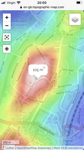
105 |
Top of Blythe Hill |
| 93 |
140 |
One Tree Hill gun emplacement |
| 106 |
153 |
Top of Cannonbie Road |
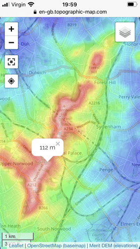
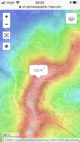
| 112 |
159 |
Top of Rocombe Crescent |
| 110 |
157 |
Base of Horniman Drive antenna |
The app I used gave raw heights which didn’t match the topography map you supplied, until I turned on ‘geoid correction’.
You can look down towards the Church Rise Church from the top of the Horniman gardens, so that must be much lower.
Rocombe Cresent is part of the same height as the Horniman Drive reading, but the GPS wanders a bit. Either way, the Rocombe Cresent triangle (looked after by Lewisham) looks really nice:
Why can’t Duncombe Hill green be like that!


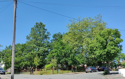


 to cool off with.
