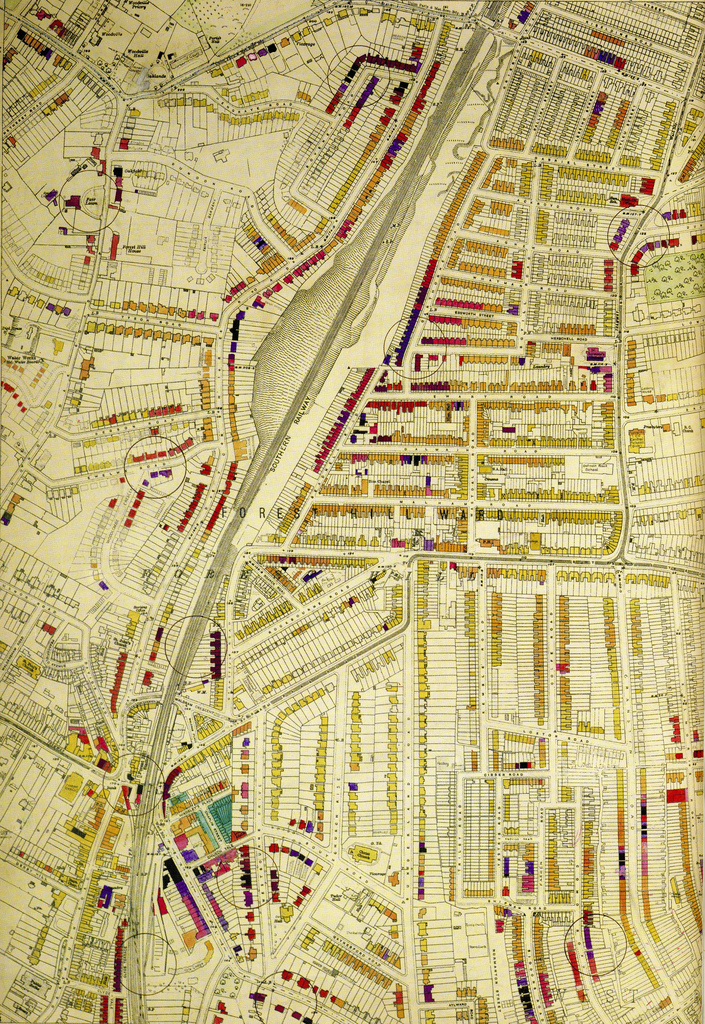
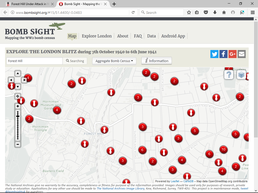
The maps show the Panmure Road V2 - it’s marked by a circle (large circles are V1s, smaller circles are V2s).
The book which shows all the bomb damage (and is where those Flickr photos are from) is the London County Council Bomb Damage Maps book. The first edition of it is incredibly expensive and hard to get hold of, but it was re-done about 2 years ago and you can get it from Amazon: https://www.amazon.co.uk/London-County-Council-Damage-1939-1945/dp/0500518254
It’s only streets within what was the LCC area, so Lewisham borough is covered but outer London boroughs aren’t, as they weren’t LCC. The maps are colour coded according to the grade of damage done, so lack is totally destroyed, purple damaged beyond repair, red badly damaged and I can’t remember the other colours. Brilliant resource!


